File:CryingwoodsMap It-lal.jpg
From Woldipedia
No higher resolution available.
CryingwoodsMap_It-lal.jpg (520 × 432 pixels, file size: 18 KB, MIME type: image/jpeg)
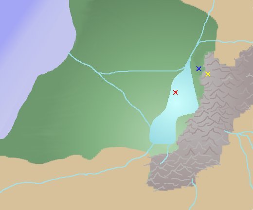
Map of It'lal location within CryingWoods. Yellow X is It'lal. Red X is the Float. Blue X is a Reptilans village and within a days trip to overgrown ruins.
File history
Click on a date/time to view the file as it appeared at that time.
| Date/Time | Thumbnail | Dimensions | User | Comment | |
|---|---|---|---|---|---|
| current | 17:43, 10 December 2009 | | 520 × 432 (18 KB) | W0ldianDM (Talk | contribs) | Map of It'lal location within CryingWoods. Yellow X is It'lal. Red X is the Float. Blue X is a Reptilans village and within a days trip to overgrown ruins. |
- You cannot overwrite this file.
File usage
The following page links to this file:
