File:SE Yrth 1.jpg
From Woldipedia

Size of this preview: 800 × 533 pixels. Other resolution: 900 × 600 pixels.
Original file (900 × 600 pixels, file size: 107 KB, MIME type: image/jpeg)
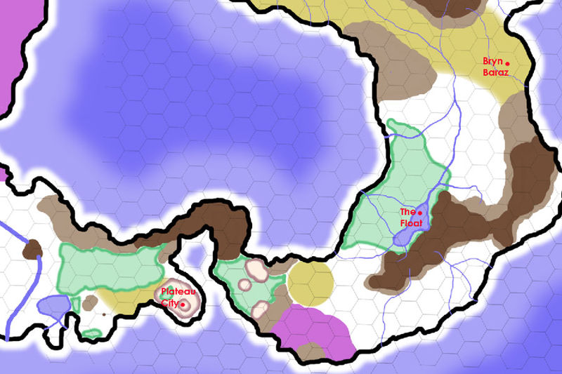
A map of the southeast corner of the continent of Yrth. Each hex is 50 miles.
File history
Click on a date/time to view the file as it appeared at that time.
| Date/Time | Thumbnail | Dimensions | User | Comment | |
|---|---|---|---|---|---|
| current | 14:17, 11 May 2011 | | 900 × 600 (107 KB) | Cayzle (Talk | contribs) | A map of the southeast corner of the continent of Yrth. Each hex is 50 miles. |
- You cannot overwrite this file.
File usage
There are no pages that link to this file.
